Canberra Walks – Tidbinbilla Mountain
I walked up Tidbinbilla Mountain, this would be the highest point I have been to in the ACT so far.
Tidbinbilla Mountain has been on my list for a while. I knew it was going to be a solid effort and a chunk of time as well, which is not always something available. I had a day off and put this on my list. You start the walk from the Mountain Creek carpark. It had been a long while since coming to Tidbinbilla, so I renewed the annual pass in the hope of doing a few more similar walks through the course of this year.
Before going, I had read a variety of accounts of going up Tidbinbilla Mountain. As per usual, John Evans had some detailed information on his site.
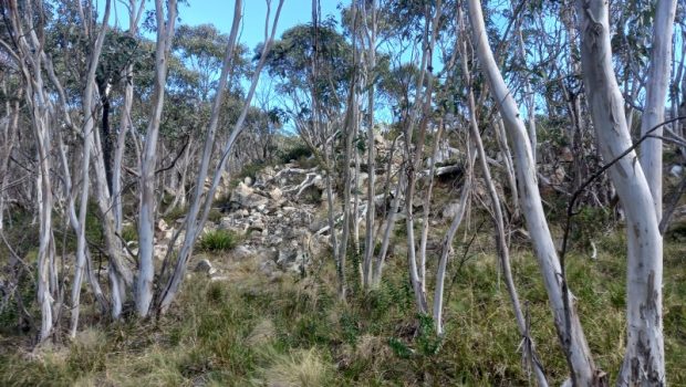
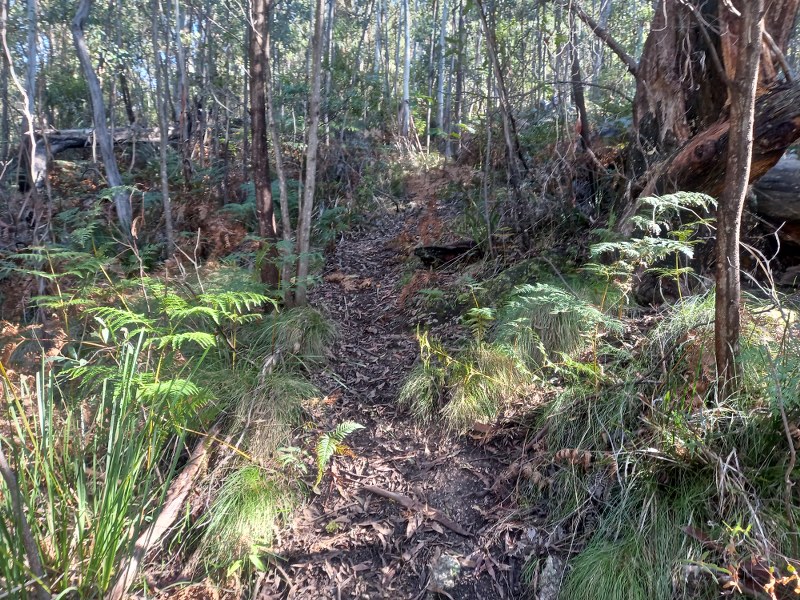
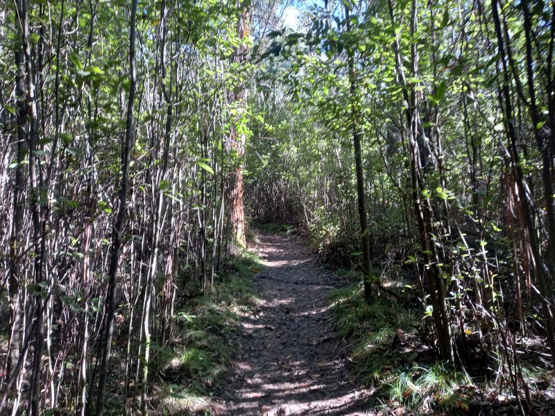
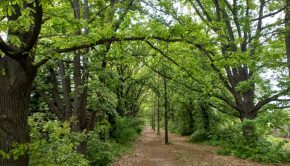
The walk starts by following the Lyrebird and Cascade trails. After the turn off to the Cascade trail, there is a small turnoff which is unmarked. After a short while on this path, there are some warnings about not being the next search and rescue mission. Unfortunately on the way day I was getting concerned that I might be added to that list. Before we get to that, let’s talk about the way up. It’s a fairly steep climb, the elevation goes up by about 500m is a couple of km. About halfway up the mountain, you come to some benches that have been provided, which is quite handy. A little further after this, you come to a place called Snowy Corner, where thing flatten out a bit more.
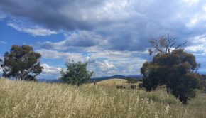
There has been a bit of rain this week, but on the day I had perfect weather for walking. Things cooled down slightly with the higher elevation, but it was quite pleasant walking in the sunshine.
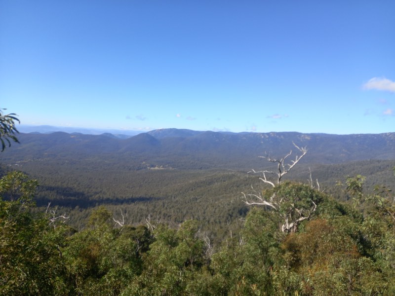
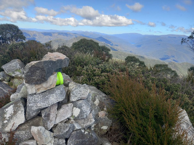
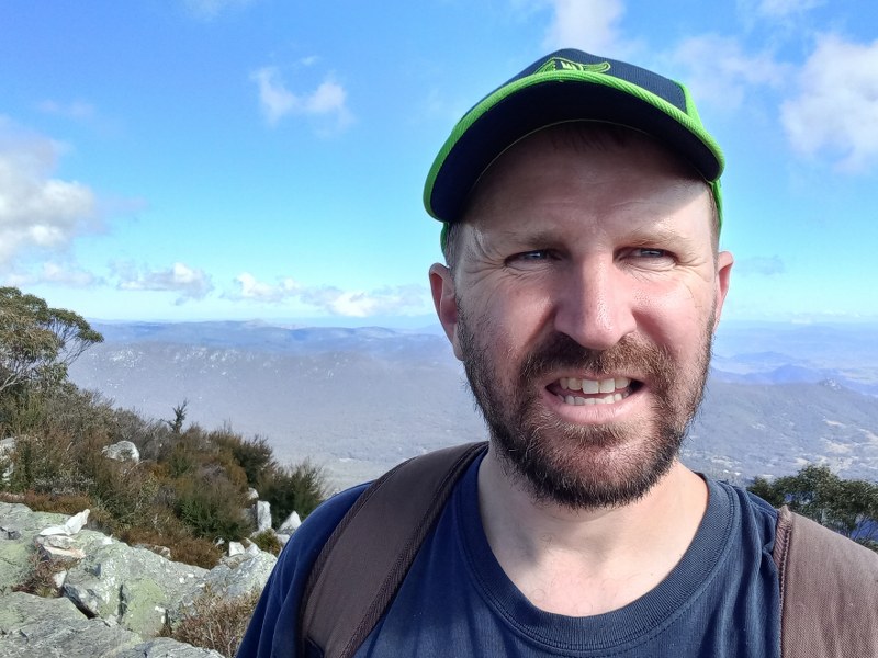
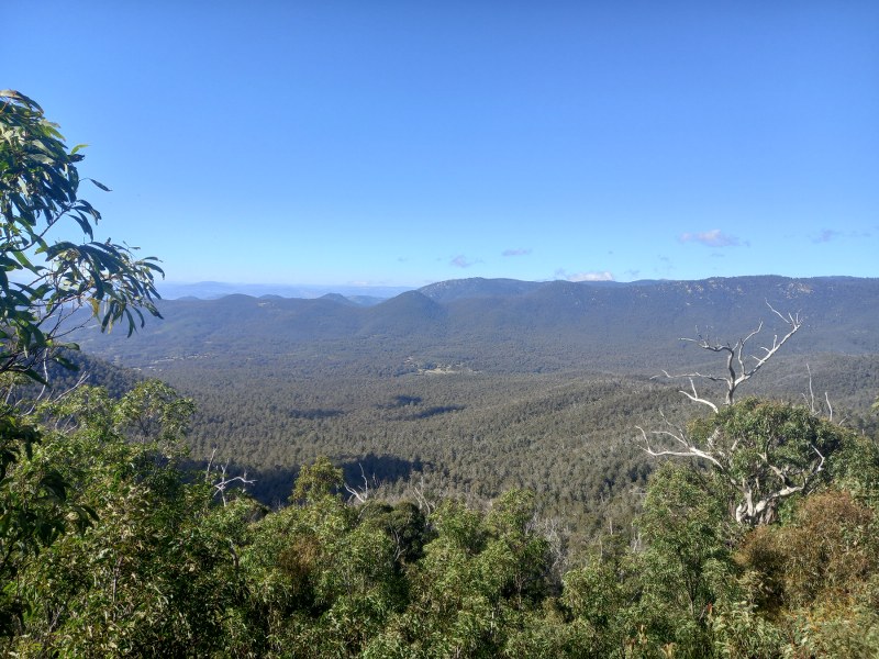
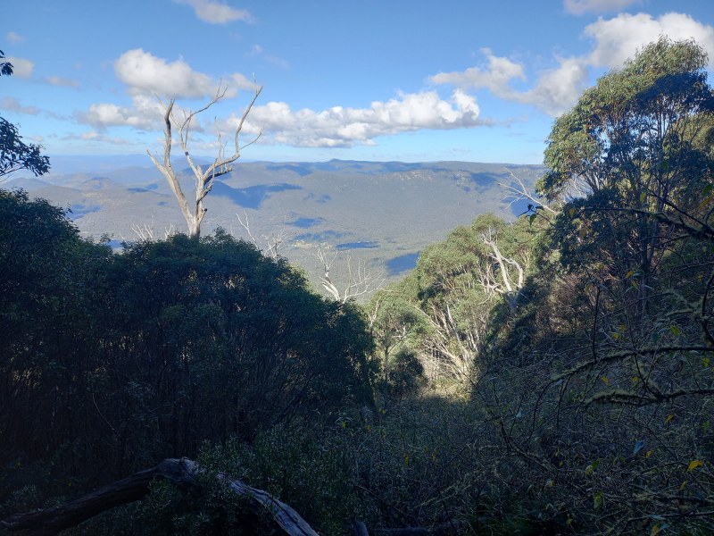
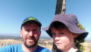
Once you reach the top, there is a huge view out over Namadgi, back to the Cotter and you can see parts of Canberra off in the distance. I had a break for sandwiches and decided to continue along further, with the general idea of heading towards Tidbinbilla Peak. This proved not to be the greatest idea. It would have been best to turn around and come back down the way I came.
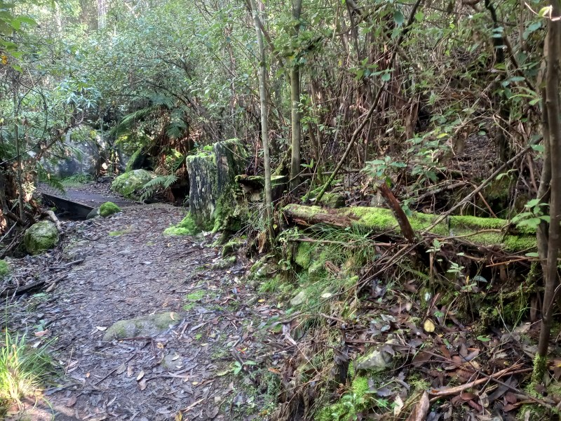
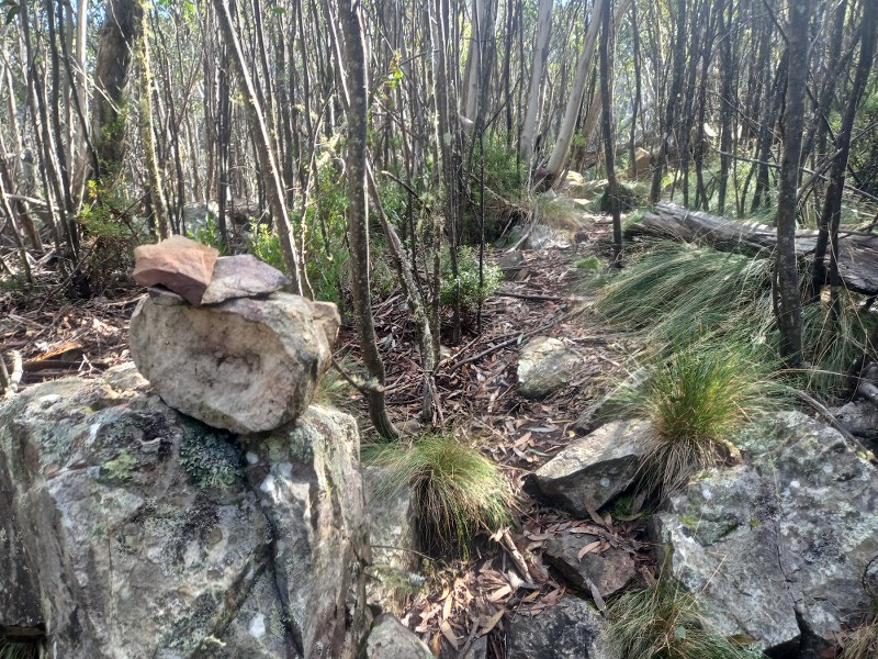
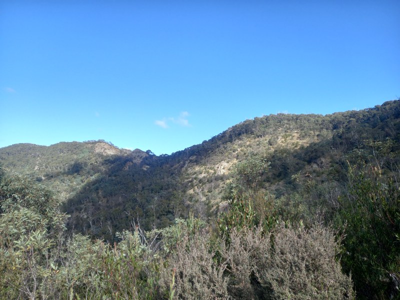
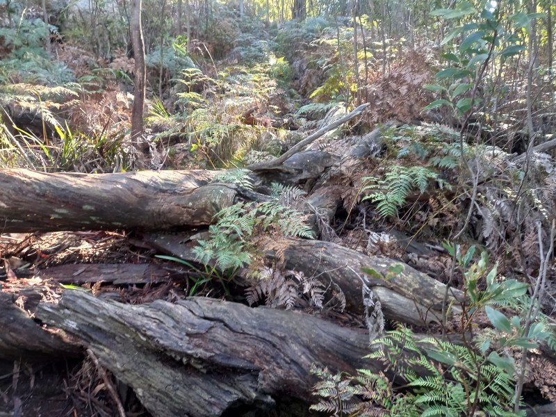
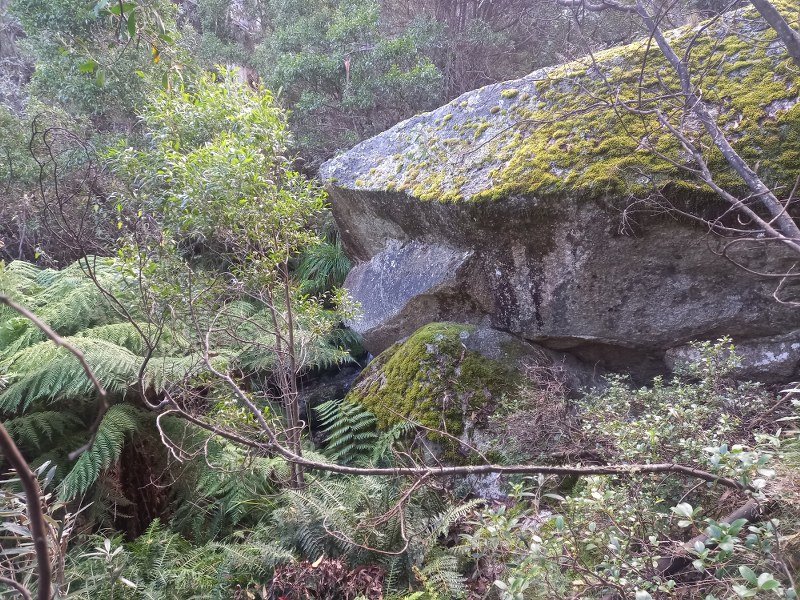
Heading downhill, I followed some cairns and pink tags heading towards Tidbinbilla Peak. Unfortunately at some point I took a wrong turn. Coming back to think of it, I believe it’s where the turnoff to “The Pimple” is. That turnoff is to the left, and I should have continued straight. From there I went to the right. I still came across some more bits of track, but eventually I came to a bit of a peak. It is around the same height as Tidbinbilla Peak, but it’s not it. From there it was all a bit of mess, sliding, slipping, falling, crawling. I was able to follow the line of the creek, and after a long while that brought me back on to the Lyrebird Trail.
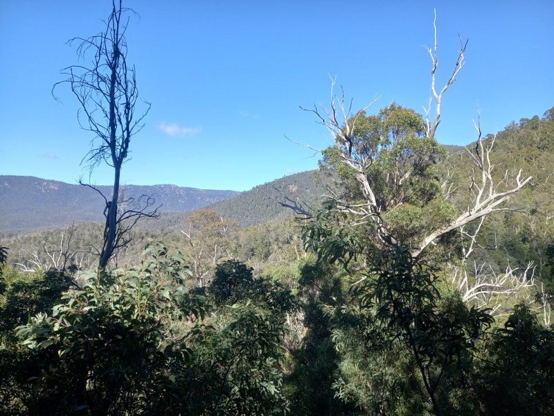
One issue coming down the hillside, aside from being off the track, is that many of the branches and logs are damaged and have had a lot of water on them, making them slippery and creating extra hazards.
I was certainly glad to make it to the end of that walk, although a bit scratched up and certainly tired. I was also glad not to become another statistic for the search and rescue. While going down was a rough experience, I wouldn’t mind giving another crack at the Tidbinbilla Peak round, probably going up by the Camel’s Hump fire trail way.



Pingback: Capital Eyes - Vlog 89 - Tidbinbilla Mountain - Sport/Life