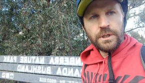
Canberra Walks – Square Rock
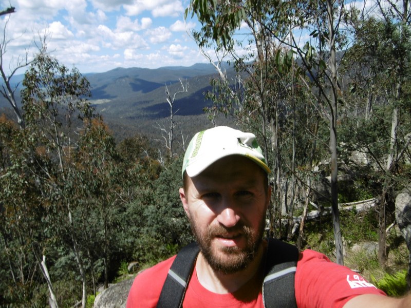
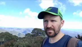
The excursion to Square Rock was my first visit into Namadgi National Park for a walk.
The walk to Square Rock came recommended as fairly easy-going, with big views as a reward. The road to Corin Dam is currently closed at the carpark for Square Rock, so I knew I couldn’t miss the turn. The start of the walk has been moved, it seems it was previously on the other side of the road.
On signing the walking register it seemed I was the first person on the track for the day, so it was fairly quiet along my way. It was reasonably sunny but not too hot, so a 10 a.m. start was not a worry. I had been planning an earlier kickoff, but it is about an hour out of town, so that was when I was able to get there.
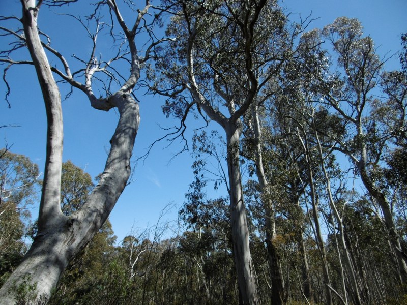
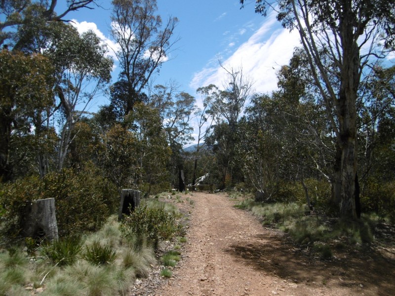
The walk goes through some fairly high trees, though there are plenty of parts open to the sun, but it wasn’t too hot on this day and I had plenty of water with me to get me by.
Max elevation: 1466 m
Min elevation: 1228 m
Total climbing: 486 m
Total descent: -482 m
Total time: 03:09:32
As you will be able to see from the map above, I took the Smokers Trail loop to come back, which I would probably advise against. It adds a lot of time to the walk, with fairly minimal reward.
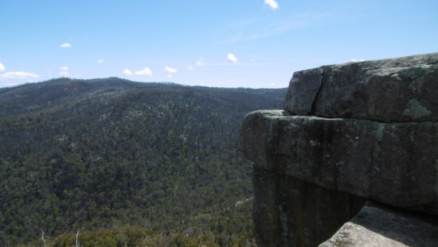
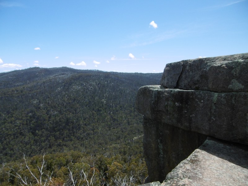
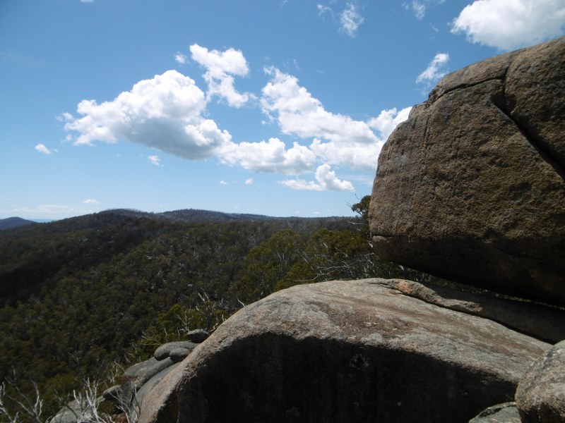
The view from Square Rock is where the main reward is, looking mainly over the more wild parts of Namadgi, though you can see a road down below with a few cars passing along.
Before getting to the rock itself, the journey is fairly steady on a well defined trail. There are not too many markings, with some minimalist pegs showing the way on a couple of key points. Though there was not much climbing, turns out there was a reasonable increase in elevation over the course of the walk.
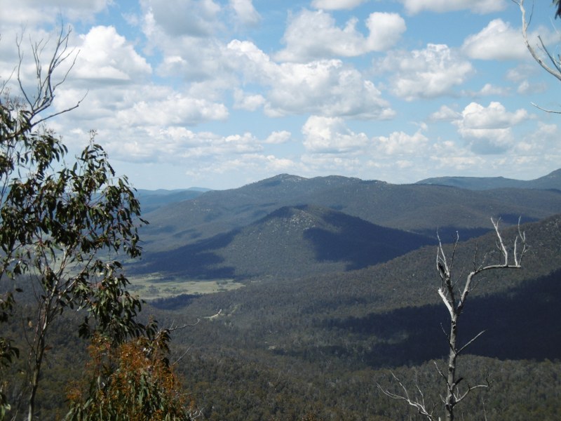
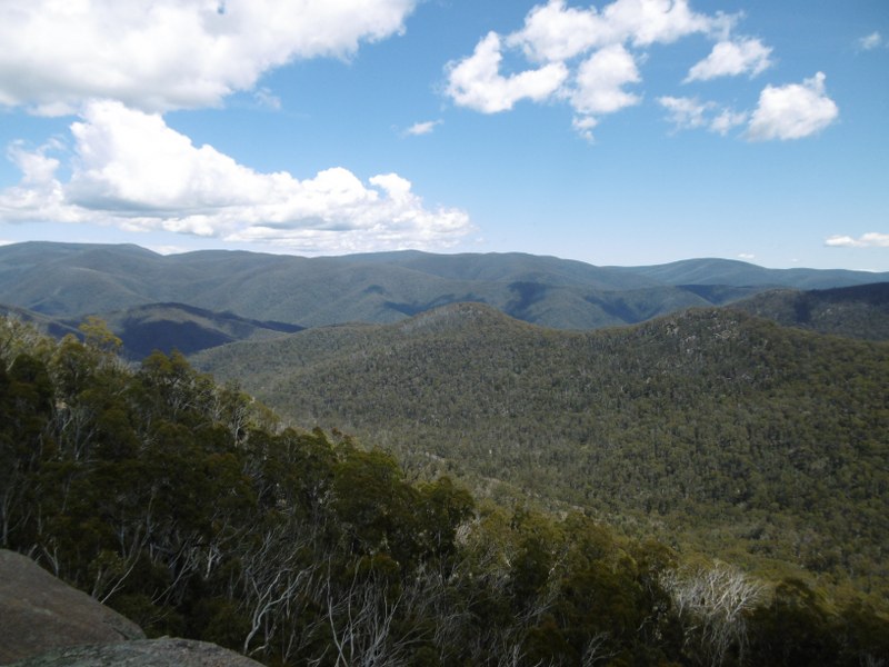
Before Square Rock is a detour to go to the Orroral Lookout, which gives you big views over the valley of the same name, where the old Tracking Station used to be. Because of the previously mentioned large trees the views before that point are more glimpses at the mountains off in the distance.
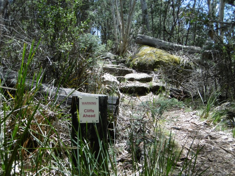
It’s not far after the lookout that you reach the destination of the walk, with a prior warning for steep cliffs. The views are really impressive from that area, and it was an awesome feeling to just take it all in by myself.
My maximum elevation during the walk was apparently 1466 metres, which is the highest I have been within the ACT. I am hoping to beat that with some further trips into the Namadgi area before the year is out.
I passed a couple of other walkers on my way back, though it was still fairly quiet along the track. As previously mentioned I took the Smokers Trail detour, which brings you to a fire trail. I was hoping for some impressive views somewhere along the way, though they didn’t really come until close to the end, where you could see back in towards Canberra.
It definitely expands the time and distance, with the 15km journey taking me just over 3 hours. Overall, it is a pleasant walk with not too much difficulty.
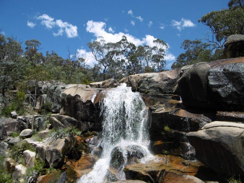
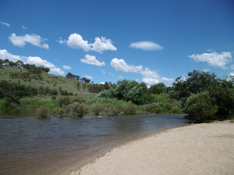
On the way home I stopped for a quick look at Gibraltar Falls, then threw myself into the river at Point Hut crossing, where I was able to flow a little way with the Murrumbidgee. This was a great refresher after the walk, and another place I had not visited before.
About the Author
Daniel Boyle Founder of @sportslashlife. Australian living in Chile. Freestyle footbag player and passionate sports fan.
Related Posts
Capital Eyes – Vlog 89 – Tidbinbilla Mountain →
Capital Eyes – Vlog 85 – Molonglo River Ride →
Capital Eyes – Vlog 82 – Last Ride of the Year →